News
Position and elevation measurement of an offshore helicopter landing deck
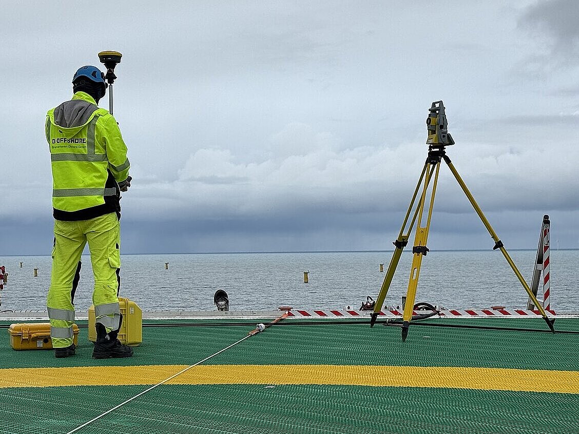
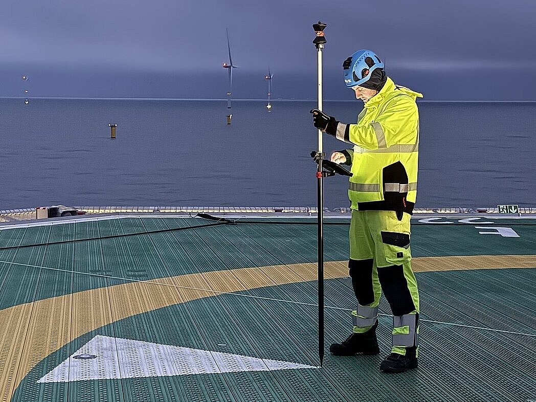
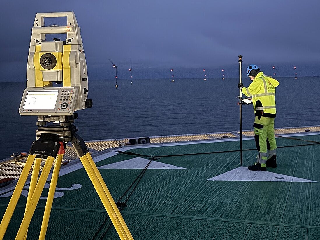
In November, the industrial surveying experts at b.offshore GmbH successfully completed the survey of the helicopter landing deck for a new converter station in the North Sea. The aim was to precisely determine the geographical location and elevation of the landing site in accordance with the AVV-HFP (General Administrative Regulation for the Approval of the Construction and Operation of Helicopter Landing Sites).
During the offshore operation, the team took a wide range of measurements using an automated total station and a GNSS smart antenna. The exact position in latitude and longitude was determined for the touchdown and lift-off area (TLOF) of the helideck, and the height of the helipad was determined relative to mean sea level (MSL). To ensure a safe approach, all structures and obstacles on the converter platform – including cranes with booms, weather stations and similar – had to be recorded in terms of their position and height. The landing area itself was checkd for the required southward slope to allow rainwater to drain properly. Finally, the alignment of the approach lighting and directional arrows on the helipad was determined and documented in relation to true north for both approach directions.
Overall, the inspection ensured that the offshore helipad complies with the requirements of the approval authority BSH (Federal Maritime and Hydrographic Agency) and that the Federal Ministry of Digital and Transport (BMDV), as the competent aviation authority, approves helicopter operations.