
News
Precise offshore surveying of a helicopter landing deck in front of Rügen
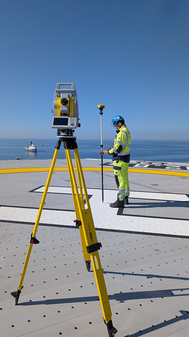
In May 2026, b.offshore GmbH completed a high-precision survey of the helicopter landing deck on a converter platform located north of the island of Rügen.
The goal of the project was to precisely determine the geodetic position parameters of the helicopter landing deck. This included the precise determination of the geographic position of the reference point based on the global coordinate system WGS84, as well as the determination of the elevation of the landing deck.
The work was carried out in accordance with the technical and legal requirements of the Federal Maritime and Hydrographic Agency (BSH) as well as the “General Administrative Regulation on the Approval of the Construction and Operation of Helicopter Landing Sites (AVV-HFP).” Operators of offshore helicopter landing decks are required to provide exact coordinates and location information to the relevant aviation authorities.
The collected survey data is used, among other things, to update aviation regulatory databases, to precisely define approach and departure procedures, and to assess obstacles in the vicinity of the helicopter landing deck. Furthermore, they make an important contribution to navigational safety in offshore flight operations.
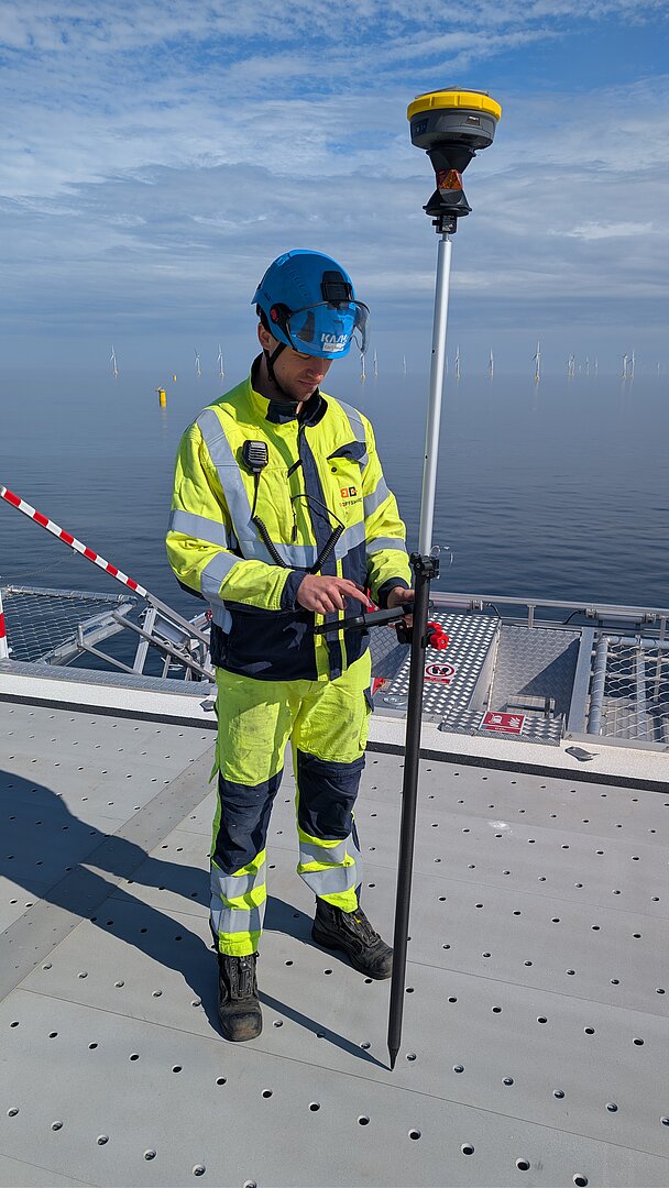
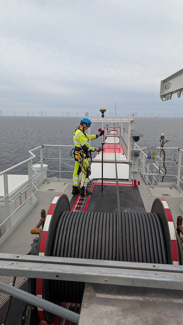
For the survey, b.offshore GmbH utilized specialized geodetic equipment as well as offshore-certified GNSS technology. Despite challenging conditions such as wind, vibrations, and metallic surrounding structures, measurement accuracy in the sub-decimeter range was ensured.